
05 Sep 2018 Pennine Way landscape photographs
In April I completed the Pennine Way – a 16-day adventure (and ordeal), and an outstanding opportunity to take time to make landscape photographs. Below I’ve reproduced part of my travel journal covering the final day of the walk – one of the toughest days of my life.
Thu 27 Apr: Byrness to Kirk Yetholm
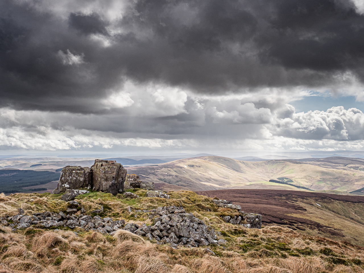
Standing on Windy Gyle.
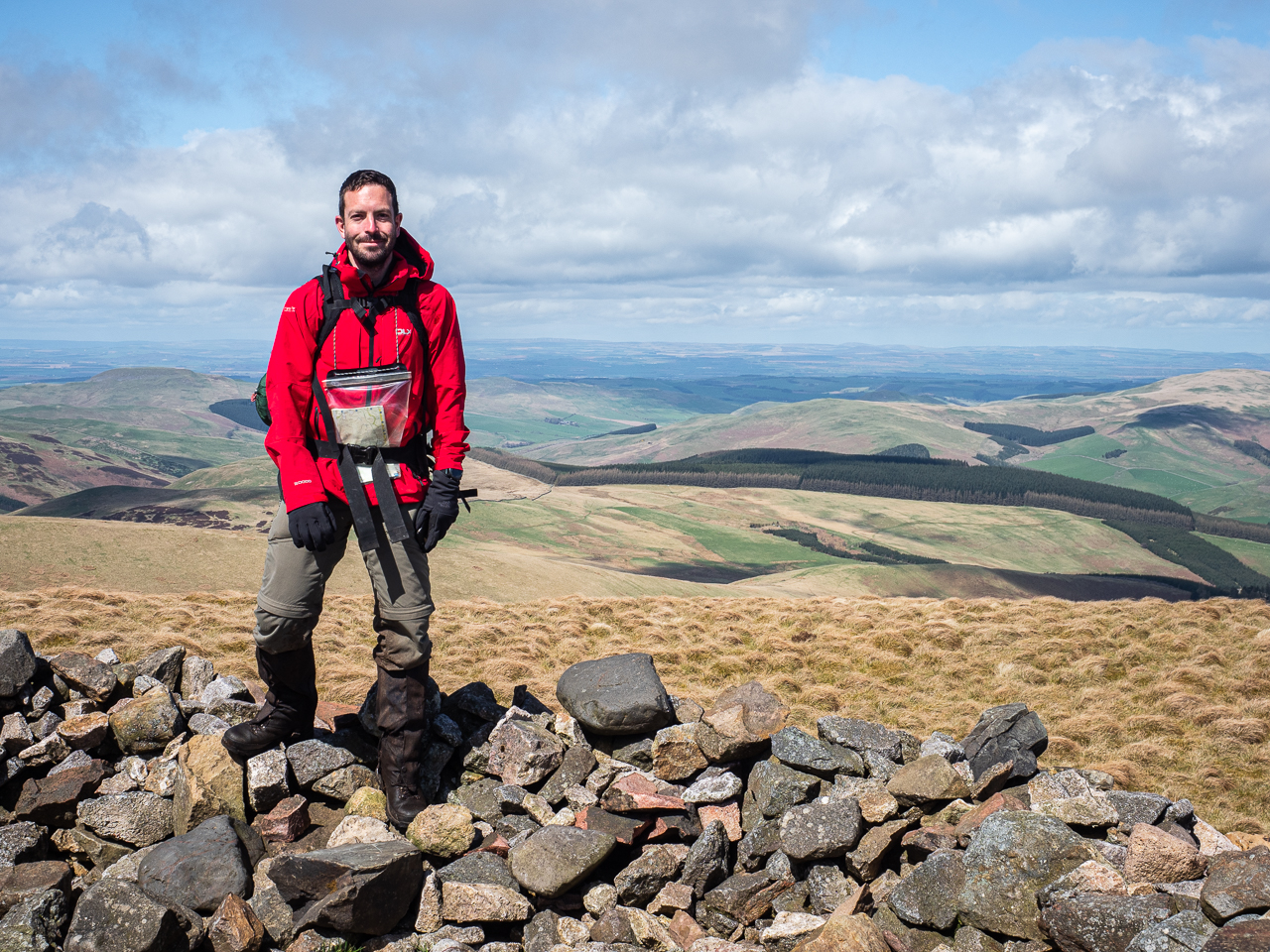
The final leg of the Pennine Way – from Byrness to Kirk Yetholm – takes in more than a mile of ascent and 26-plus miles of walking – nearly a tenth of the entire trail, making it possibly the longest day walk I am ever likely to attempt. [My walking partner] Adam and I set off before 0600, almost immediately ascending nearly 200 metres steeply to the bare, windblown summit of Byrness Hill. We set off for the Cheviots through intermittent sunshine and screaming winds. Appropriately enough, some of the features of the route bear names that suit the conditions: Windy Crag, Windy Gyle, Plea Knowe, Foul Step, Windy Rig, Murder Cleugh (times two!). Let’s not talk about Randy’s Gap.
Mercifully, much of the final stage of the Pennine Way is paved or marked. Here and there, slabs are entirely submerged in boggy water, as though to remind walkers of earlier boot-sucking slogs across Ickornshaw Moor, Saddleworth or Blenkinsopp Common. Principally, though, the route is challenging because of the constant climbs and descents – by this point my knees were in blazing pain whenever I walked downhill.
Nearly there…
At one location we spotted a road sign, perched at the top of a steep hill high in the Cheviots. From time to time the Pennine Way does this: throws something strange or baffling at the confused Wayfarer. It breaks the walk up a little, offers tempting opportunities for landscape photographs, and provides fuel for travel journals. In this case it left odd questions too: who in her right mind would be riding a motorbike across rough, windblown hilltops, dodging Cheviot goats and bouncing from bog to bog?
We pressed on, up and down Ogre Hill, Lamb Hill, Beefstand Hill, Mozie Law and – eventually – the spectacular exposed summit of Windy Gyle. By the time we reached Auchope Cairn, an hour further along, the sky had turned turbulent: we struggled through an increasingly violent headwind, watching storms race across distant hills, shrouding them in opaque grey columns of rain. Mercifully we remained mostly dry – just the occasional squall dampened our kit and stiffened our resolve. I took the opportunity to scramble out to a boulder to capture a series of landscape photographs showing the squall in all its glory. That moment was, for me, perhaps as perfect as any other on the trail.
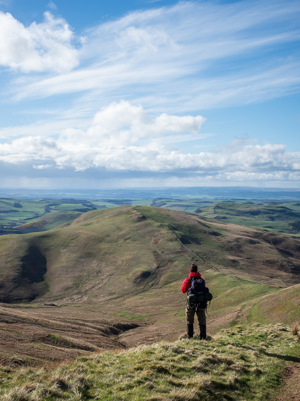
From Windy Gyle we pressed on to the Schil, a conical hill rising above a rather expansive landscape of rolling mounds. Easily tackled, it gave out to a saddleback ridge and on across the side of Black Hag. Gradually we started shedding altitude, steadily – and painfully – dropping downhill towards Burnhead Farm, the first building other than mountain refuge huts that we had seen since Byrness – 12½ hours and 39km ago. Barely any stretch of the trail had felt this tough, as the promise of a final rest mingled with the elation of completing the walk and the ceaseless pain and throb of wrecked joints.
On, past farmyards framed by rainbows in golden evening light; past more and more signs of the final town; past sheep and cows, cars and quadbikes, road signs and the final Pennine Way finger post. On to Kirk Yetholm. A final short hill; a descent towards the village, spread flat beneath a late spring sky of deepening blue. I wept at the sight: the culmination of months of planning and days of effort. A nondescript place but a perfect goal at the end of a life-changing challenge.
Read about my adventure in the new issue of Let’s Explore magazine.
No Comments